


Course - Applications of Unmanned Aerial Systems in the Agroforestry Sector
Dates: June 30, July 1 and 2, 2026
Fully face-to-face training focused on the use of drones, sensors and remote sensing tools applied to advanced crop management.
More information and registration
During the sessions, we will work on real-world applications such as:
- Monitoring the growth and structural development of crops
- Variable application of fertilizers and pesticides using multispectral maps
- Diagnosing water stress for more efficient and sustainable water management
In addition, the course will allow you to learn about the complete workflow with UAV platforms, from flight planning to the generation of orthomosaics and digital elevation models.
The training is aimed at agricultural technicians and advisors, professionals from technology and agricultural service companies, students and researchers, as well as profiles linked to agricultural planning and land management.
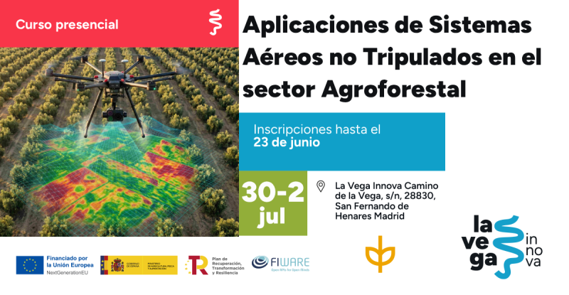
Registration open until June 23rd