


27 de May de 2021
Innovación
Cambio climático y gestión de recursos naturales
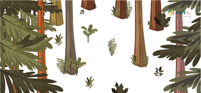
May 27, 2021. A large area of Spain's forested land, between 40 and 50%, is undermanaged or abandoned. This implies a high risk of fires in these areas, as well as a loss of opportunities and benefits, both social and economic, for the municipalities where they are located.
- The SAGEFER operational group is developing a software tool to enhance forest land use, generate rural employment, and launch businesses that improve forest management.
The SAGEFER Operational Group was born from the need to develop a solution that would boost forest resources and improve the current situation of vast areas of forest being abandoned, as well as the lack of forestry culture, poor environmental protection, a lack of innovation, and many other problems affecting forestry in Spain.
This solution involves building a software tool—developed using open source and based on GIS (Geographic Information Systems) technology —that provides quick and easy access to recorded information and enhances the functionality of static mapping.
Utilities
This application—in addition to mapping the land—serves to connect the various stakeholders in rural areas (landowners, associations, administrations, businesses, the scientific and academic community, citizens, etc.) by creating a network of contacts between them.
The application also offers an integrative solution that can be implemented in any forest area in Spain for three reasons:
- Provides a roadmap for achieving optimal development of forest resources
- It manages data entry and is an information repository for all the agents to whom the service is directed.
- It allows the visualization and management of data, reports, maps, graphs, etc. through a GIS viewer .
Pilot territories
The project has been implemented in three pilot territories—Galicia, Castile and León, and Andalusia—with varying characteristics in terms of size, utilization, and forest ownership, to ensure the model can be replicated in other territories. The idea is that once developed, it can be transferred to all territories in Spain.
In Galicia, the project is being tested in Gondomar (Pontevedra), while in Castile and León, SAFEGER is operating in Ávila. In Andalusia, it has been implemented in the Serranía Suroeste (Southwestern Serranía) of Seville and in northern Cádiz in towns with high landscape value (Los Alcornocales Natural Park).
Phases
The project is developed simultaneously in 3 phases :
- Model design : The Operational Group identifies use cases for the service to be designed and analyzes the profiles of the application's target audience.
- Design of the software tool : definition of its architecture and the tools to be used.
- Implementation of the model : in the 3 pilot territories described above.